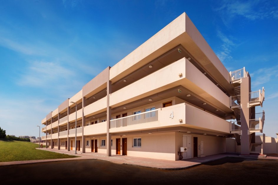
Engineering surveying is a service that measures and determines the locations, dimensions, heights, and angles of points, lines, and areas on, below, or above the surface of the Earth. This service is used in various fields such as civil, architectural, environmental, agricultural, and urban planning. Engineering surveying helps in designing, implementing and monitoring construction projects accurately and efficiently.
Sorting real estate units
Dividing a building or real estate complex into several real estate units through which all information about the real estate unit, its share of the land area, and the private and common parts of the property are determined.
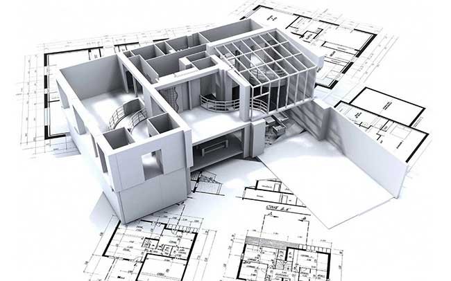
Signing the locations of the construction structure
This service aims to determine the locations of concrete foundations, columns, walls and ceilings in various buildings and facilities. This service uses the latest hardware and engineering software to ensure the accuracy and quality of signing and execution. This service helps save time, money, materials and energy in the construction process
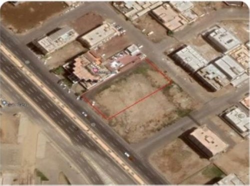
Fragmentation & merger
The cadastral division and merger service is a service that allows dividing or merging plots of land at the request of the owner or agent. Then we send and follow up on your request at the Riyadh Municipality. This service aims to improve land use, organize urban planning, and facilitate land disposal operations.
Calculating excavation and backfilling quantities
The excavation and backfilling quantity calculation service is a service provided by the Bright Vision Company, to contractors and engineers who work in the field of building and construction. This service helps determine the amount of soil that has been excavated or backfilled to create a specific project, based on plans and technical specifications. This service saves time and effort and reduces possible errors in the process of calculating the amount of excavation and backfilling.
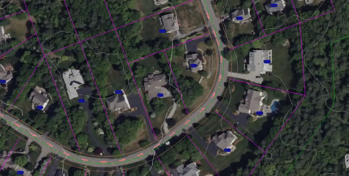
Boundary scanning
The procedure of boundary surveying consists in determining the exact locations of the corners of a particular piece of land and marking them with decrees or sign. These corners and boundaries are drawn on a surveying board bearing the signature and stamp of an approved engineering office. This painting documents the shape, space, and geographic location of the piece.
Survey report
The cadastral report service is a service that determines the area, boundaries, and geographical coordinates of a specific piece of land. This service is required to update documents, obtain a building permit, or divide the land into plots. The cadastral report must be certified by a cadastral office licensed by the competent authorities.
Equipping surveying teams
We provide you with the service of equipping specialized and highly qualified surveying teams to implement your projects accurately and professionally. We guarantee that we will provide you with the necessary and advanced equipment to complete the work quickly and with quality. We also provide final plans for all the surveying work that we carry out.
Surveying based on reality AS built
We carry out surveying work from nature and prepare a detailed plan
Drones in Aerial Surveys
It is a measurement technique that makes it possible to represent reality in three dimensions. A three-dimensional position can be calculated for each point of the terrain visible in several images, which ultimately allows for a three-dimensional image, which translates into three dimensions what our eyes perceive from different points of view.